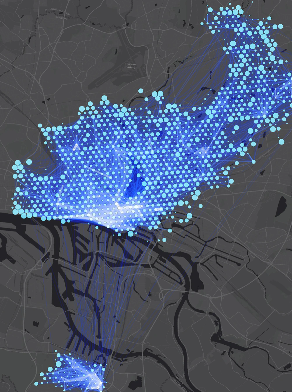
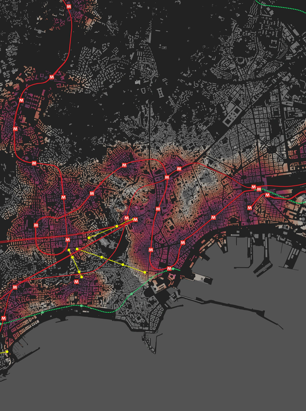
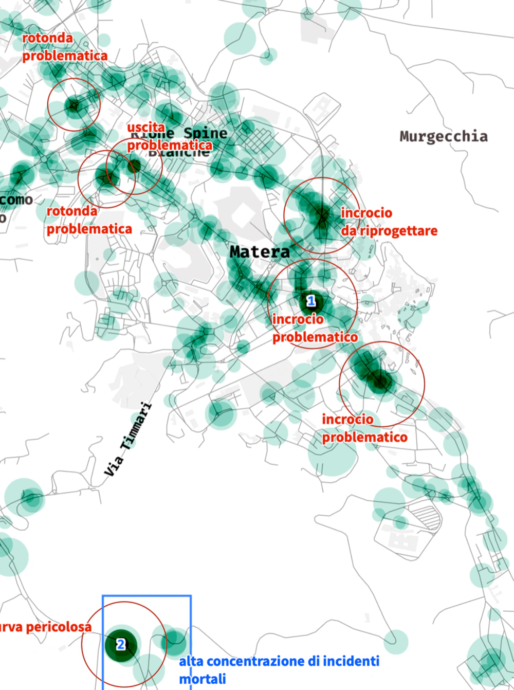
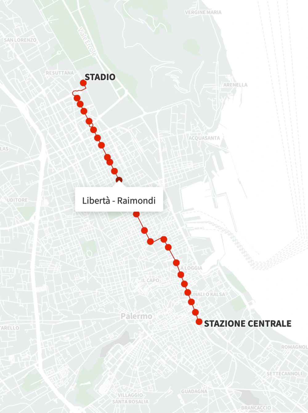
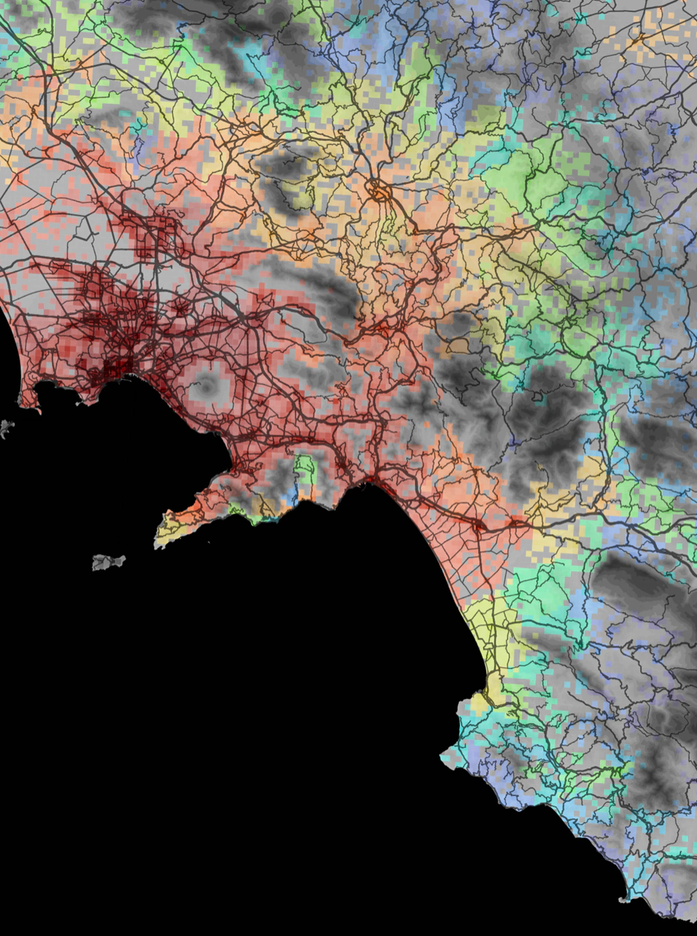
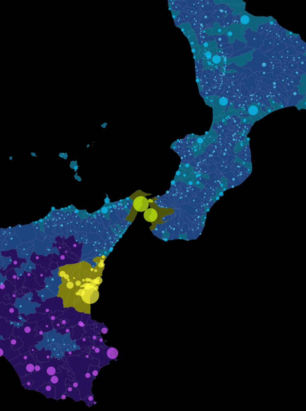
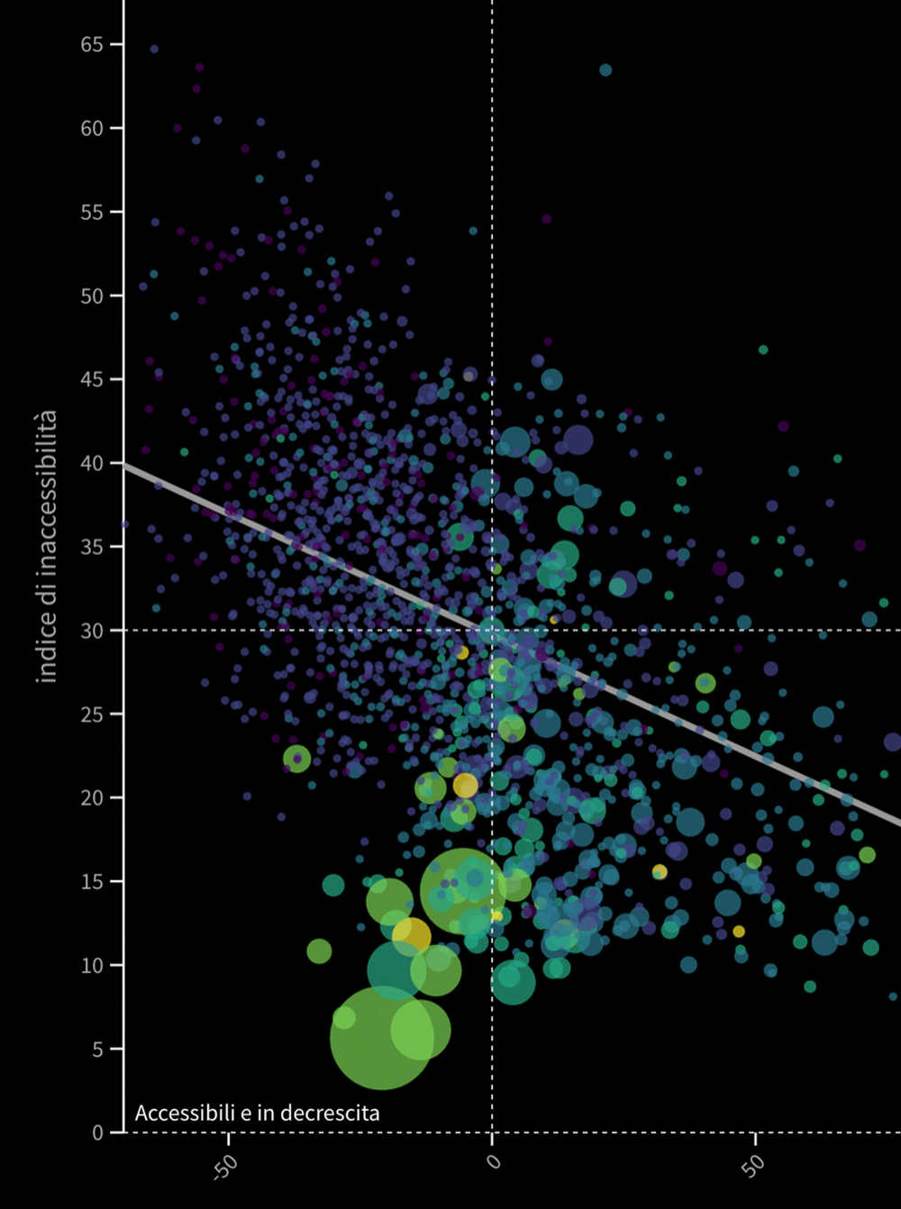
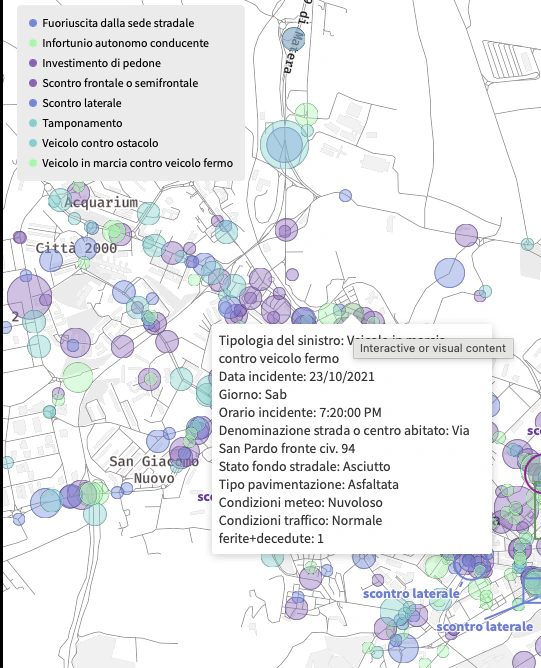
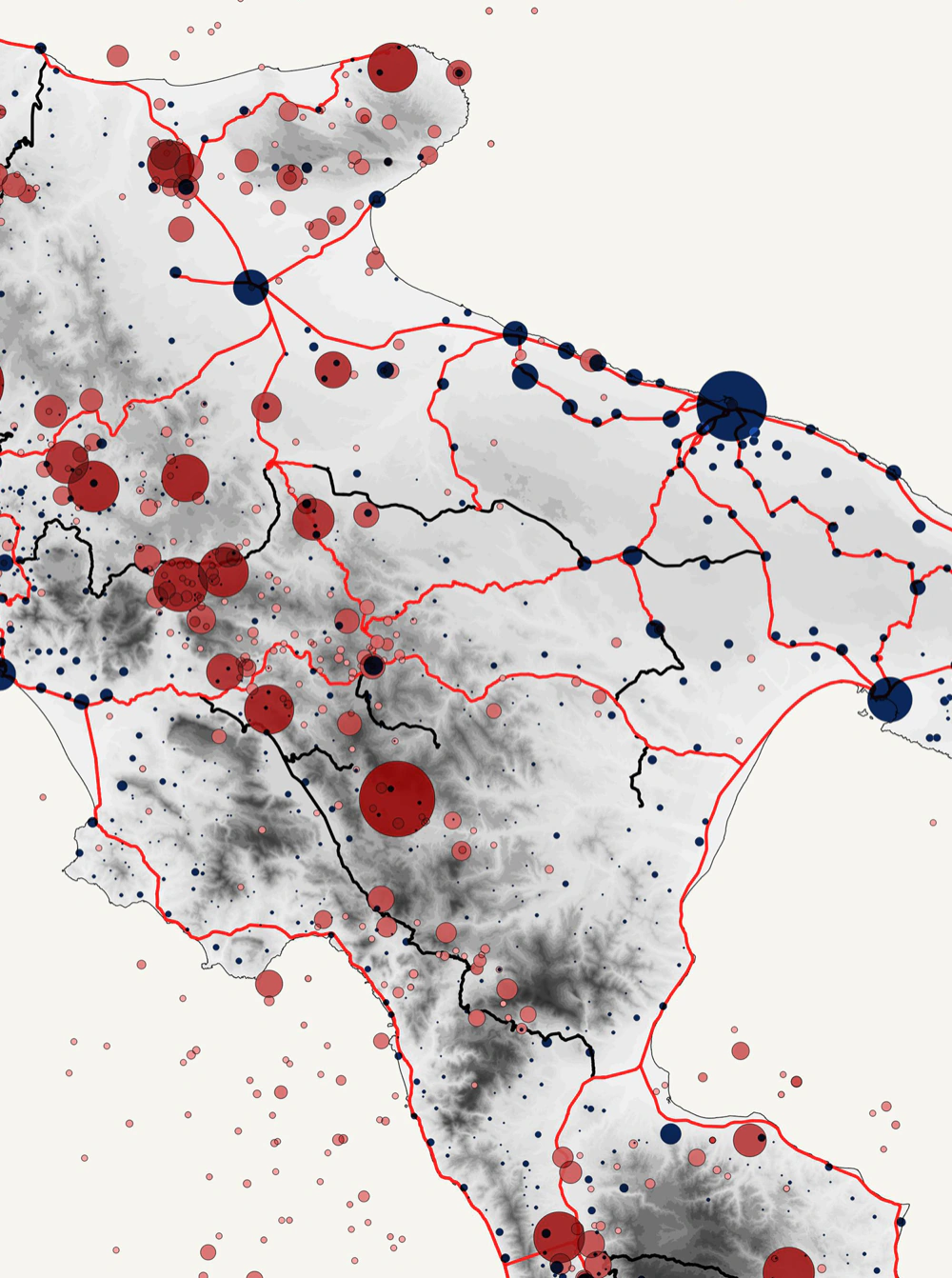
GIS analysis at urban and large-area scale, supporting ordinary, strategic, and environmental planning. Correlation of socio-economic aspects with infrastructural accessibility and environmental factors, revealing spatial relationships and dependencies.
• URBAN AND TERRITORIAL PLANNINGGo to page →
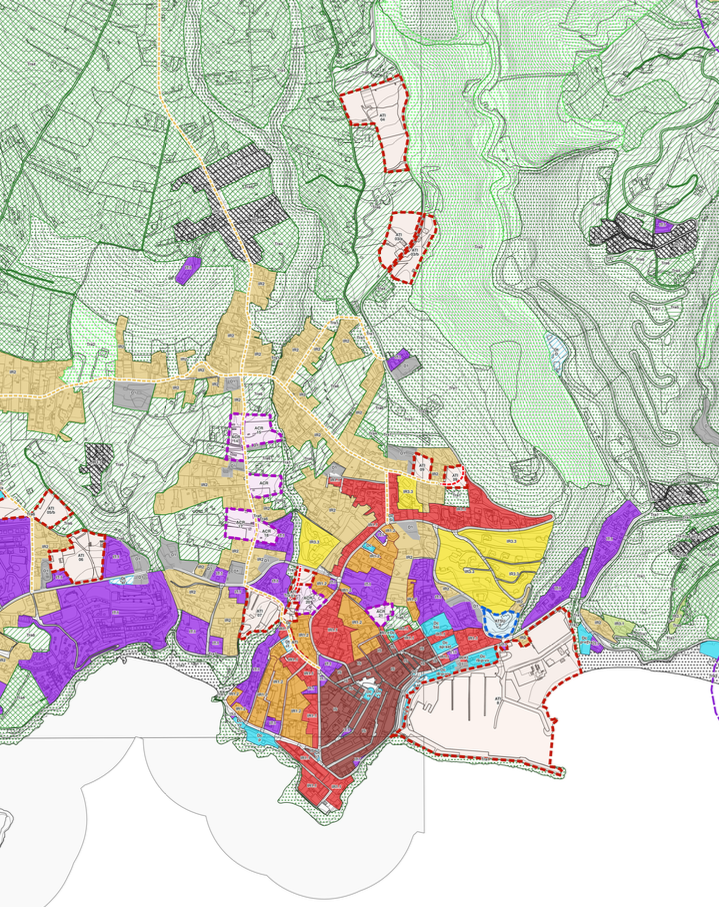
Mapping and analysis of demographic, economic, occupational, and social data at the territorial level, cartographic processing, calculation of standards and volumes, supporting the Municipal Urban Plan (PUC) and Municipal Structural Plan (PSC).
Learn more →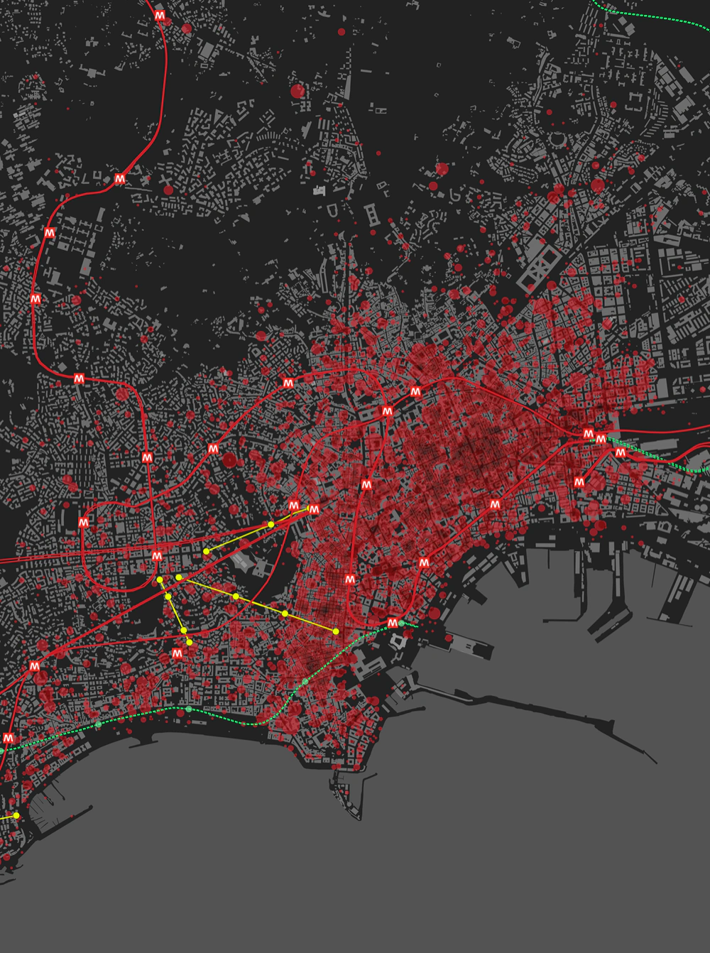
Analysis supporting sectoral plans and strategic planning tools: masterplans, integrated plans, urban regeneration programs. Study of dynamic phenomena and measurable circumstances to guide development choices.
Learn more →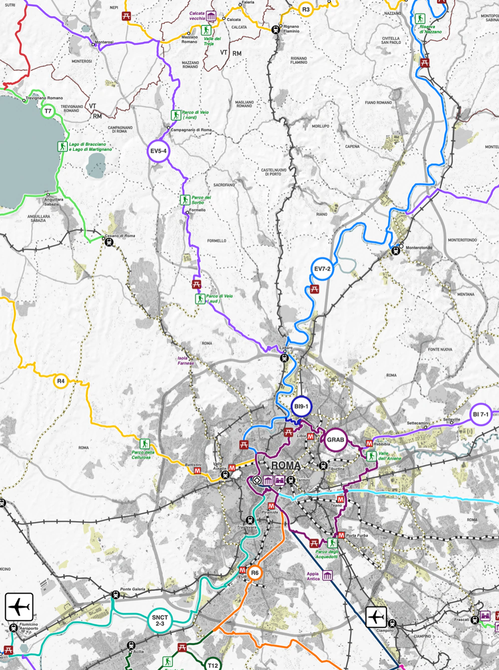
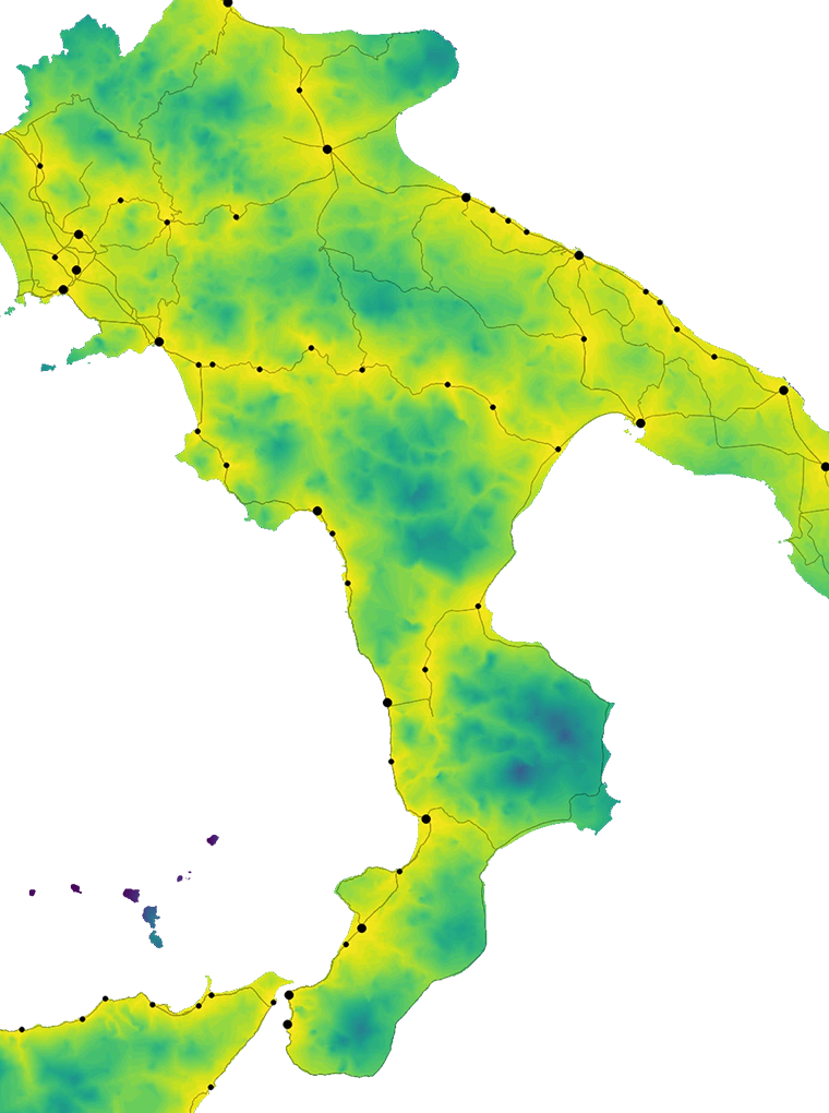
Multi-thematic large-area analyses supporting Provinces, Metropolitan Cities, and Regions: Provincial Territorial Coordination Plans (PTCP), Regional Territorial Plans (PTR), and metropolitan strategic plans. Environmental analyses for Strategic Environmental Assessment (SEA) and Park Plans, mapping of constraints and protected areas.
Learn more →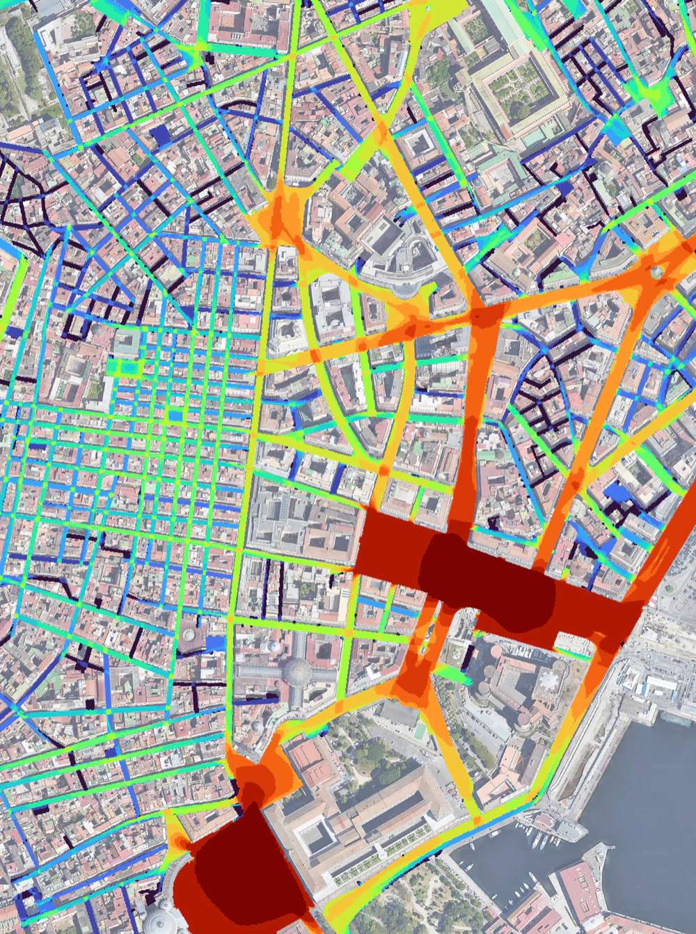
Visibility analysis via DepthMapX supporting Emergency and Evacuation Plans (PEE), usability of open spaces, and wayfinding. Identification of areas with limited visibility, proposing solutions to improve safety and orientation.
Learn more →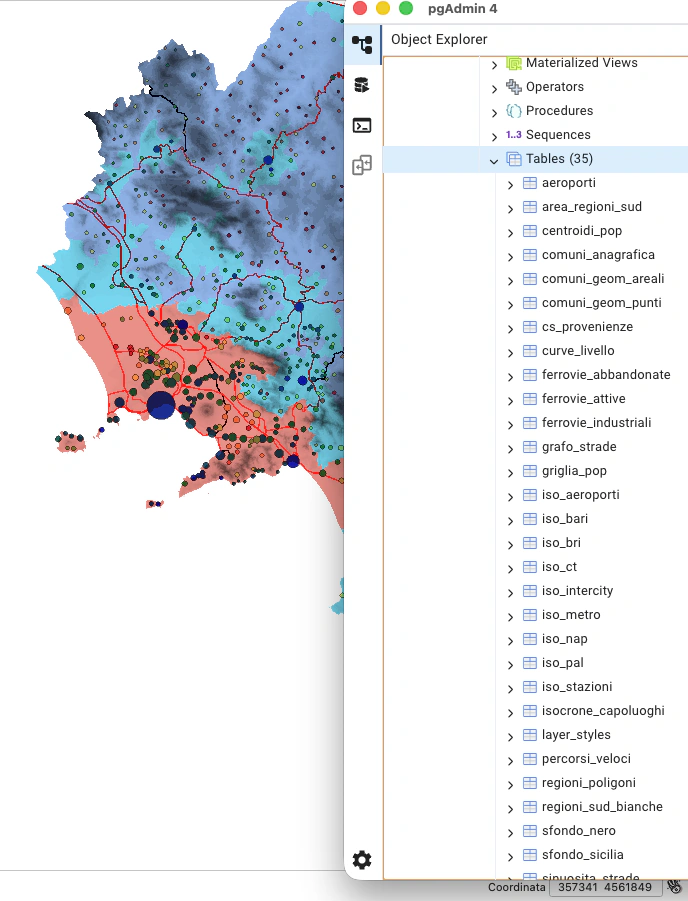
Digitalization of existing urban plans and organization of structured GIS projects for local authorities: creation of compliant geo-databases, data migration, systematization of informational layers, and training for technical staff.
Learn more →